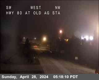
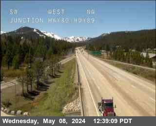
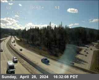
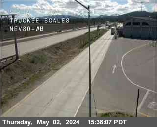
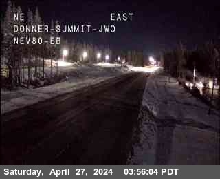
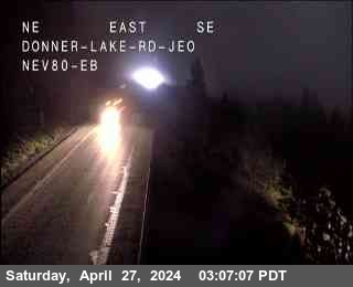
Is I 80 open? Is I 80 closed?
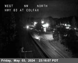
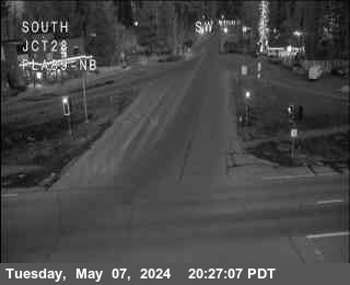
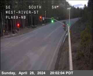
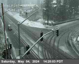
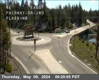
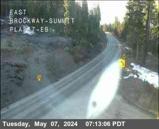
Highway web cams links provide you with current conditions and any chain-controls or restrictions, and live stream views of all roads leading into North Tahoe. And if the weather is bad, checking real time is the safest way to decide whether to stay or to go.
|
|
||||
|---|---|---|---|---|
| Truckee | 5905ft | 12:04 am | No chain controls are in effect at this time. | |
| Truckee | 5905ft | 12:04 am | No chain controls are in effect at this time. | |
| Boca | 5531ft | 12:04 am | No chain controls are in effect at this time. | |
| Boca | 5531ft | 12:04 am | No chain controls are in effect at this time. | |
| Floriston On-ramp | 5387ft | 12:04 am | No chain controls are in effect at this time. | |
| Floriston On-ramp | 5387ft | 12:04 am | No chain controls are in effect at this time. | |
| Castle Peak, (@ DRA Holding only) | 7247ft | 12:04 am | No chain controls are in effect at this time. | |
| DLI (Donner Lake Interchange) | 6361ft | 12:04 am | No chain controls are in effect at this time. | |
| DLI (Donner Lake Interchange) | 6361ft | 12:04 am | No chain controls are in effect at this time. | |
| Yuba Gap | 5770ft | 12:04 am | No chain controls are in effect at this time. | |
| Yuba Gap | 5770ft | 12:04 am | No chain controls are in effect at this time. | |
| Applegate | 2020ft | 12:04 am | No chain controls are in effect at this time. | |
| Applegate | 2020ft | 12:04 am | No chain controls are in effect at this time. | |
| Applegate | 2020ft | 12:04 am | No chain controls are in effect at this time. | |
| Applegate | 2020ft | 12:04 am | No chain controls are in effect at this time. | |
| Colfax | 2421ft | 12:04 am | No chain controls are in effect at this time. | |
| Colfax | 2421ft | 12:04 am | No chain controls are in effect at this time. | |
| Gold Run | 3188ft | 12:04 am | No chain controls are in effect at this time. | |
| Gold Run | 3188ft | 12:04 am | No chain controls are in effect at this time. | |
| Alta | 3480ft | 12:04 am | No chain controls are in effect at this time. | |
| Alta | 3480ft | 12:04 am | No chain controls are in effect at this time. | |
| Baxter | 3897ft | 12:04 am | No chain controls are in effect at this time. | |
| Baxter | 3897ft | 12:04 am | No chain controls are in effect at this time. | |
| Drum | 4333ft | 12:04 am | No chain controls are in effect at this time. | |
| Drum | 4333ft | 12:04 am | No chain controls are in effect at this time. | |
| Whitmore | 4770ft | 12:04 am | No chain controls are in effect at this time. | |
| Whitmore | 4770ft | 12:04 am | No chain controls are in effect at this time. | |
| Nyack | 5393ft | 12:04 am | No chain controls are in effect at this time. | |
| Nyack | 5393ft | 12:04 am | No chain controls are in effect at this time. | |
| Kingvale | 6076ft | 12:04 am | No chain controls are in effect at this time. | |
| Kingvale | 6076ft | 12:04 am | No chain controls are in effect at this time. | |
| Cisco Grove | 5649ft | 12:04 am | No chain controls are in effect at this time. | |
| Cisco Grove | 5649ft | 12:04 am | No chain controls are in effect at this time. | |
| Rainbow | 5734ft | 12:04 am | No chain controls are in effect at this time. | |
| Rainbow | 5734ft | 12:04 am | No chain controls are in effect at this time. | |
| CA / NV Stateline- Gold Ranch (End of Control) | 5006ft | 12:04 am | No chain controls are in effect at this time. | |
|
|
||||
| Truckee | 5905ft | 12:04 am | No chain controls are in effect at this time. | |
| Truckee | 5905ft | 12:04 am | No chain controls are in effect at this time. | |
| Overland Trail - OTL Truck Screens | 5820ft | 12:04 am | No chain controls are in effect at this time. | |
| Overland Trail - OTL Truck Screens | 5820ft | 12:04 am | No chain controls are in effect at this time. | |
| Overland Trail - OTL Truck Screens | 5820ft | 12:04 am | No chain controls are in effect at this time. | |
| Overland Trail - OTL Truck Screens | 5820ft | 12:04 am | No chain controls are in effect at this time. | |
| Boca | 5531ft | 12:04 am | No chain controls are in effect at this time. | |
| Boca | 5531ft | 12:04 am | No chain controls are in effect at this time. | |
| Floriston On-ramp | 5403ft | 12:04 am | No chain controls are in effect at this time. | |
| Floriston On-ramp | 5403ft | 12:04 am | No chain controls are in effect at this time. | |
| DLI (Donner Lake Interchange) | 6404ft | 12:04 am | No chain controls are in effect at this time. | |
| DLI (Donner Lake Interchange) | 6404ft | 12:04 am | No chain controls are in effect at this time. | |
| Eagle Lakes | 5449ft | 12:04 am | No chain controls are in effect at this time. | |
| Eagle Lakes | 5449ft | 12:04 am | No chain controls are in effect at this time. | |
| Colfax | 2421ft | 12:04 am | No chain controls are in effect at this time. | |
| Colfax | 2421ft | 12:04 am | No chain controls are in effect at this time. | |
| Gold Run | 3188ft | 12:04 am | No chain controls are in effect at this time. | |
| Gold Run | 3188ft | 12:04 am | No chain controls are in effect at this time. | |
| Alta | 3379ft | 12:04 am | No chain controls are in effect at this time. | |
| Alta | 3379ft | 12:04 am | No chain controls are in effect at this time. | |
| Baxter | 3923ft | 12:04 am | No chain controls are in effect at this time. | |
| Baxter | 3923ft | 12:04 am | No chain controls are in effect at this time. | |
| Nyack | 5400ft | 12:04 am | No chain controls are in effect at this time. | |
| Nyack | 5400ft | 12:04 am | No chain controls are in effect at this time. | |
| Kingvale | 6069ft | 12:04 am | No chain controls are in effect at this time. | |
| Kingvale | 6069ft | 12:04 am | No chain controls are in effect at this time. | |
| Applegate - End of Control | 2040ft | 12:04 am | No chain controls are in effect at this time. | |
| Drum (Whitmore) | 4599ft | 12:04 am | No chain controls are in effect at this time. | |
| Drum (Whitmore) | 4599ft | 12:04 am | No chain controls are in effect at this time. | |
| Cisco Grove | 5659ft | 12:04 am | No chain controls are in effect at this time. | |
| Cisco Grove | 5659ft | 12:04 am | No chain controls are in effect at this time. | |
| Rainbow | 5921ft | 12:04 am | No chain controls are in effect at this time. | |
| Rainbow | 5921ft | 12:04 am | No chain controls are in effect at this time. | |
| CA / NV Stateline - Gold Ranch | 5019ft | 12:04 am | No chain controls are in effect at this time. | |
| CA / NV Stateline - Gold Ranch | 5019ft | 12:04 am | No chain controls are in effect at this time. | |
| CA / NV Stateline - Gold Ranch | 5019ft | 12:04 am | No chain controls are in effect at this time. | |
| CA / NV Stateline - Gold Ranch | 5019ft | 12:04 am | No chain controls are in effect at this time. | |
| Mogul | 4724ft | 12:04 am | No chain controls are in effect at this time. | |
| Mogul | 4724ft | 12:04 am | No chain controls are in effect at this time. | |
| Mogul | 4724ft | 12:04 am | No chain controls are in effect at this time. | |
| Mogul | 4724ft | 12:04 am | No chain controls are in effect at this time. | |
|
|
||||
| Tahoe City (SR28/89 Jct) | 6256ft | 12:04 am | No chain controls are in effect at this time. | |
| Lardin Way (Dollar Hill) | 6295ft | 12:04 am | No chain controls are in effect at this time. | |
|
|
||||
| Lardin Way (Dollar Hill) | 6272ft | 12:04 am | No chain controls are in effect at this time. | |
| Nevada Stateline | 6391ft | 12:04 am | No chain controls are in effect at this time. | |
|
|
||||
| Luther Pass | 7732ft | 12:04 am | No chain controls are in effect at this time. | |
| Ebrights | 6289ft | 12:04 am | No chain controls are in effect at this time. | |
| Emerald Bay | 6624ft | 12:04 am | No chain controls are in effect at this time. | |
| Bliss State Park | 6840ft | 12:04 am | No chain controls are in effect at this time. | |
| Hobart Mills | 5853ft | 12:04 am | No chain controls are in effect at this time. | |
| Prosser Dam Road - Truckee | 5977ft | 12:04 am | No chain controls are in effect at this time. | |
| Tahoma - Eldo / Placer Co Line | 6305ft | 12:04 am | No chain controls are in effect at this time. | |
| Tahoe City | 6246ft | 12:04 am | No chain controls are in effect at this time. | |
| Olympic Valley | 6131ft | 12:04 am | No chain controls are in effect at this time. | |
| Little Truckee Summit | 6430ft | 12:04 am | No chain controls are in effect at this time. | |
| Sierraville | 4960ft | 12:04 am | No chain controls are in effect at this time. | |
| Sattley (Jct. 89/49) | 5036ft | 12:04 am | No chain controls are in effect at this time. | |
| Calpine | 4973ft | 12:04 am | No chain controls are in effect at this time. | |
|
|
||||
| Christmas Valley | 6505ft | 12:04 am | No chain controls are in effect at this time. | |
| Bliss State Park | 6840ft | 12:04 am | No chain controls are in effect at this time. | |
| Harper's Grade | 6292ft | 12:04 am | No chain controls are in effect at this time. | |
| Tahoma ( Co line / Sugar Pine ) | 6332ft | 12:04 am | No chain controls are in effect at this time. | |
| Hobart Mills - ECC only | 5853ft | 12:04 am | No chain controls are in effect at this time. | |
| Tahoe City | 6243ft | 12:04 am | No chain controls are in effect at this time. | |
| Olympic Valley | 6171ft | 12:04 am | No chain controls are in effect at this time. | |
| Truckee - West River St | 5928ft | 12:04 am | No chain controls are in effect at this time. | |
| Little Truckee Summit | 6430ft | 12:04 am | No chain controls are in effect at this time. | |
| Onion Valley - 17 Miles n/o Truckee | 6059ft | 12:04 am | No chain controls are in effect at this time. | |
| Sierraville | 5026ft | 12:04 am | No chain controls are in effect at this time. | |
| Sattley | 4937ft | 12:04 am | No chain controls are in effect at this time. | |
| Sierra / Plumas County Line | 4665ft | 12:04 am | No chain controls are in effect at this time. | |
|
|
||||
| Truckee - Jct I-80 (aka - Bypass) | 5967ft | 12:04 am | No chain controls are in effect at this time. | |
| Truckee Airport Rd | 5918ft | 12:04 am | No chain controls are in effect at this time. | |
| Martis Creek | 5833ft | 12:04 am | No chain controls are in effect at this time. | |
| Northstar Rd | 6200ft | 12:04 am | No chain controls are in effect at this time. | |
|
|
||||
| Kings Beach - (Jct. 267/28 - Stewart Way) | 6538ft | 12:04 am | No chain controls are in effect at this time. | |
Road condition data courtesy California Department of Transportation.
Traffic Cameras
Road Cam data courtesy California Department of Transportation.


