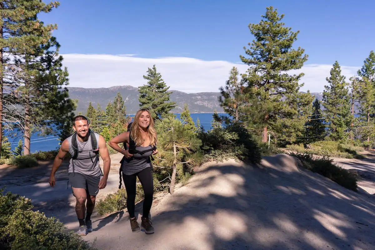
Lake Tahoe has long attracted nature lovers from across the world. Nestled in the heart of the Sierra Nevada, the crystal blue waters of Lake Tahoe are a breathtaking sight at any time of the year, whether you’re exploring in the snow or basking in the sunshine. One of the best ways to soak in all the beautiful views is on a hike. You don’t need to be an expert backpacker to make the most of Lake Tahoe’s trails. All you need is a sturdy pair of boots and some good company, and you’re set. Many of these trails are pet-friendly and allow for biking, snowshoeing, horseback riding and more, so if you’d prefer to do your adventuring on something other than your own two feet, you’re covered.
QUICK LINKS
Top Trails | Short Hikes | Waterfall Hikes | Fall Hikes | Hike Safe
The Best Hikes in Lake Tahoe
Each of these trails vary in difficulty, so no matter your skill level, you’ll be able to enjoy Lake Tahoe’s natural beauty, up close and personal. Check out the below trails on our North Lake Tahoe Best Trails map.
Tunnel Creek Trail
- The Hike: This 4.7-mile, out-and-back hike is considered moderately difficult, so it’s best for those with some experience hiking. Pack plenty of water. The trail starts at Tunnel Creek Café and takes you up to Monkey Rock, and at one point intersects with the Tahoe Rim Trail.
- Why Visitors Love It: It’s not an exaggeration to call the view at the top of this trail the best panoramic view in Tahoe. From the summit, you can see the entire sparkling blue Lake Tahoe surrounded by gorgeous mountains. It’s also home to Monkey Rock, a boulder that looks uncannily like a gorilla and makes for some great photo opportunities.
- Getting There: The Tunnel Creek Trail is located on the East end of Incline Village. Park by the Tunnel Creek Café, and follow the paved road behind it that heads South. The paved road ends in a few hundred yards and gives way to a Forest Service gate. Pass the gate, and head up the trail to greet the top of the mountain.
Tahoe Rim Trail
- The Hike: Spanning 165 miles point-to-point, the Tahoe Rim Trail is renowned in hiking communities worldwide. You have the option of tackling the entire long-distance trail that encircles the entirety of the Tahoe Basin, or you can embark on many different shorter guided hikes provided by the Tahoe Rim Trail Association. While completing the entire trail may be a multi-day endeavor, there are plenty of access points and shorter segments that allow hikers to experience the beauty of the trail in smaller doses.
- Why Visitors Love It: The Tahoe Rim Trail is a bucket-list hike for many experienced backpackers and adventurers, offering a variety of terrain and stunning viewpoints along the way. From sweeping vistas of the lake to peaceful meadows and dense forests, the Tahoe Rim Trail showcases the diverse landscapes that make Lake Tahoe so special.
- Getting There: There are a variety of access points along the loop, so your route there can vary depending on where you are starting from. Many hikers recommend starting at the Spooner Summit Trailhead for the full experience, though you can begin your journey from anywhere along the loop. Check out the Tahoe Rim Trail Association’s website for more specific information on routes, parking fees and more.
Stateline Fire Lookout
- The Hike: An easy, 1.7 mile trek, this hike is perfect for beginners wanting to experience stunning lake views. The lookout is staffed with volunteers during the summer who are happy to share with visitors information on the area’s history and natural resources, and you’ll also find a self-guided nature trail that details the fascinating history of Lake Tahoe’s North Shore.
- Why Visitors Love It: This relatively easy hike provides one of the best views of Lake Tahoe in the area. Once you reach the lookout, you can use the provided telescopes to view the crystal blue lake waters in a whole new way. The trail is also paved, making it a great choice for families with young kids and strollers.
- Getting There: Take Hwy 28 North from Tahoe City and turn left on Reservoir Drive. Turn right on Lakeshore Avenue, then left on Forest Service Road 1601 (by the iron pipe gate). Park in the lot just below the lookout.
Best Short Hikes
Need something quick so you can pack the day full of as many activities as possible? Try one of these shorter, easier trails. You’ll find stunning views and plenty to explore, with room to explore more of Lake Tahoe with the rest of your day.
Tahoe Meadows Interpretive Loop
- The Hike: This short, 1.3-mile loop is a quick, gentle hike, and takes around an average of 26 minutes to complete (though depending on your pace, this could be up to an hour). The terrain is easily traversable and the hike is not steeply inclined.
- Why Visitors Love It: This loop offers the perfect chance to explore Tahoe Meadows, a subalpine expanse of absolutely stunning wildflowers and grassy areas. As it is a loop, this hike is all about the journey, not the destination. You’ll find your worries melting away as you soak in breathtaking sights and learn a little more about the local flora and fauna.
- Getting There: Take Highway 28 heading east, then turn onto NV-431 (Mt Rose Highway) and follow it for about five miles until you reach trail parking.
Eagle Rock Trail
- The Hike: Totaling just 0.7 miles, you can complete this hike in about a half hour. The trail, which is accessible via West Lake Boulevard, loops through the forest to the top of Eagle Rock, where you’ll be treated to a beautiful view of Lake Tahoe.
- Why Visitors Love It: This hike carries a huge payoff. From the top of Eagle Rock, you can take in an incredibly panoramic view of Lake Tahoe and the surrounding Sierra Nevada.
- Getting There: Take Highway 89 South 4.5 miles or so past Tahoe City to a large volcanic cliff looming on your right. Drive past it and park next to the sign that reads, “Blackwood Creek Restoration Project.”
Vikingsholm Trail
- The Hike: Starting in the parking lot of the famous Vikingsholm Castle, this hike takes you along a mile of well-maintained path, landing at a sandy beach and picnic area surrounded by trees. Round-trip, it is estimated that this hike takes about an hour to complete.
- Why Visitors Love It: Visitors flock to the Vikingsholm Trail for its blend of natural beauty and historical charm. The trail not only offers a scenic walk through a forested paradise but also leads to one of Lake Tahoe’s most well-known landmarks. Vikingsholm Castle, with its intricate details and Scandinavian design, is a captivating sight that transports visitors back in time.
- Getting There: The park is located 22 miles south of Tahoe City. Vikingsholm can be reached by parking in the Harvey West parking lot by Highway 89 at Emerald Bay. Take the trail, which is one mile in length and drops 500 feet in elevation to the house. A fee is required for parking.
Sugar Pine Point
- The Hike: The Ed Z’berg Sugar Pine Point State Park is actually comprised of eight separate trails, varying in levels of difficulty and length. The shortest is the Lakefront Interpretive Trail, which is a wheelchair-friendly paved trail along the waterfront. The entire trail is walkable in about twenty minutes. Or, for a slightly longer, but still moderately easy, hike, the Dolder Nature Trail takes about forty-five minutes to complete and offers a relaxing hike along the lakeshore.
- Why Visitors Love It: The wide variety of different trails available makes this a great stop for families with kids. The park contains a wide variety of beautifully preserved natural resources, including ancient trees of several different types. Many of the trails are straightforward and simple to follow, with beautiful lake views all along the way. Seasonal historic tours are also available.
- Getting There: Take Highway 89 South to Tahoma. Parking is $5.
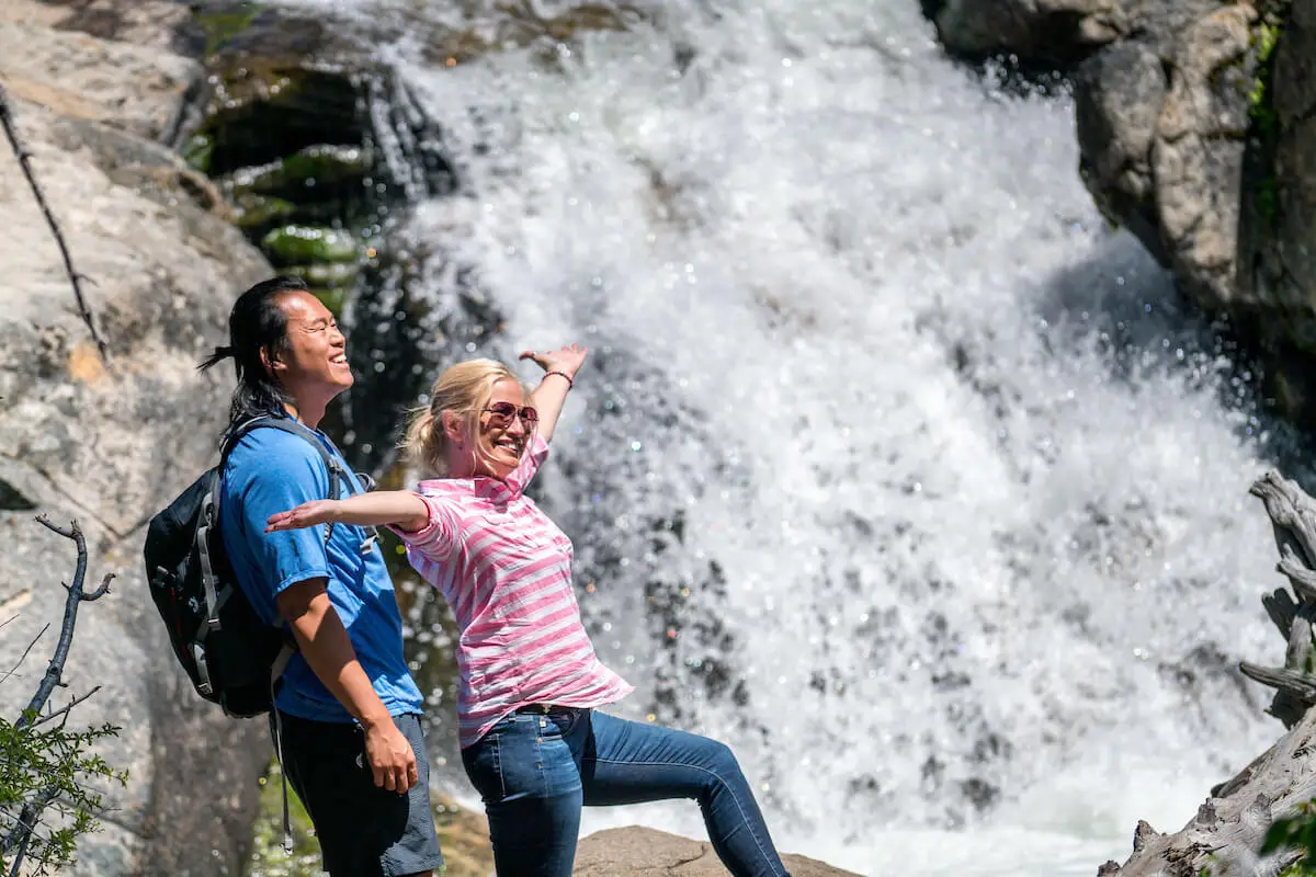
Best Waterfall Hikes
There are few things that inspire peace and admiration like the sight of a waterfall. You’ll find plenty on various trails around Lake Tahoe.
Shirley Canyon Trail
- The Hike: This trail is more challenging, but worth the extra effort. The 4-mile trail takes you past three different roaring waterfalls and up to huge granite boulders dotted with wildflowers in the warmer months.
- Why Visitors Love It: On one trail, you can explore and soak in the views of multiple waterfalls, as well as the stunning Shirley Lake. More experienced hikers especially love the challenge presented by this trail’s terrain, and the breathtaking views at the top are a great reward for the effort of getting there.
- Getting There: From the Palisades Tahoe parking lot, walk to the end of Shirley Canyon Road. There is a large sign and trail map at the trailhead.
Cascade Falls Trail
- The Hike: Starting from the Bayview Trailhead, this trail leads hikers through a shaded forest before reaching the stunning Cascade Falls. The trail offers opportunities for peaceful moments by the falls, and there are several pools you can wade in during warmer weather.
- Why Visitors Love It: This trail is relatively easy, short and well-marked, making it a great choice for any beginners. Cascade Falls offers beautiful views of Cascade Lake, Emerald Bay and Lake Tahoe.
- Getting There: Take Highway 89 just past the Bayview Campground. Parking is just beyond the campground itself.
Eagle Falls
- The Hike: A wilderness permit is required for this particular trail, but luckily, you can easily procure one at the Eagle Falls Trailhead. Once you do, this short route features some of the most stunning views in the region. While the trek is only about 1.8 miles, be mindful if bringing young children – its steep incline does make it moderately challenging.
- Why Visitors Love It: This trail is the perfect way to experience some of Tahoe’s best views. The trail leads up to the heart of the Desolation Wilderness, passing by several beautiful lakes along the way. It’s also only a mile or so from Eagle Lake, which is a great spot to take a dip or have a picnic lunch.
- Getting There: Take Hwy 89 South from Tahoe City approximately 16 miles to the Eagle Falls Picnic area on the right. A wilderness permit is required.
Best Fall Hikes
Although summer and winter are famous for their allure in Lake Tahoe, fall brings its own unique experiences, particularly along the region’s hiking trails. Check out these trails to experience the full, colorful array of fall foliage the region has to offer.
Ellis Peak Trail
- The Hike: Totaling almost 7 miles, Ellis Peak Trail is popular among hikers, bikers, horseback riders and many other adventurers. The route takes you to the summit of Ellis Peak, which overlooks Ellis Lake.
- Why Visitors Love It: Ellis Peak provides an excellent way to look out over lake vistas, which during the fall, are even more brilliant. The trail is also uniquely suited to multi-use functions, so is a popular trek for many activities besides hiking.
- Getting There: Use Highway 89 South from Tahoe City for 4.2 miles to Caspian Picnic Area. Turn west on Blackwood Canyon Road. The road follows Blackwood creek for 2.3 miles, crosses the creek and then climbs 4.8 miles to Barker Pass. Ellis Peak Trailhead is located on the south side of the road where the pavement ends on the summit.
Stanford Rock Loop
- The Hike: Spanning 10.6 miles, this is a challenging trail that winds through forests, rocky vistas and expansive meadows, with various places to stop and admire the view along the way.
- Why Visitors Love It: The challenge of this longer trail is worth the reward of sweeping panoramic views. It is also quite a popular trail for biking, though it is recommended only for more experienced bikers.
- Getting There: Start at the Ward Creek State Park trailhead just off of Highway 89.

Hike Safely and Smart in Lake Tahoe
Although not every hike will be a strenuous activity, it is still important to take the proper precautions ahead of and during your trip. Here are a couple of things to keep in mind so that your hiking trip is smooth sailing all the way:
- Wildlife is wild — let’s keep it that way. If you come across any local fauna, do not approach the animal, and wait for it to pass. Do not feed any animals or leave food behind.
- Stay hydrated. Hiking can be a strenuous activity, and it can be easy to become dehydrated if you aren’t careful. Bring your own reusable water bottles with you when you embark on your hike and remember to drink water regularly. While you’re out, you can utilize Tahoe’s many public water stations to refill your water with Tahoe Tap.
- Follow all signage for parking, trail directions and pets. In order to preserve Lake Tahoe’s wilderness, and to keep you and your group safe, it is imperative to park only in designated areas, stick to marked paths and adhere to any guidelines regarding your pets, like keeping them on a leash and picking up after them.
- Pack in, pack out. Be mindful of keeping the trails as pristine as you can. The idea is to leave no trace — that means anything you bring on your hike, you take back out with you. Throw away any garbage in designated trash cans.
To plan for your trip, visit the Know Before You Go page to stay up to date on current weather conditions, local alerts, driving conditions and more. It’s always better to be prepared — that way, you can focus completely on your beautiful surroundings as you begin your adventure through Lake Tahoe’s hiking trails. To save these trails for later or share with your travel crew, download our North Lake Tahoe Best Trails map below.

Plan Your Stay
You’ll find no shortage of natural bliss and outdoor adventure waiting for you in Lake Tahoe. Plan your stay today and discover the escape of a lifetime. Consider booking midweek to take full advantage of the region’s wide open spaces. We’ll see you soon!